What we are cooking in our lab
New versions, the stories behind them, and notes from twenty years of making apps. Looking for how to do something? The guides are sorted by task.
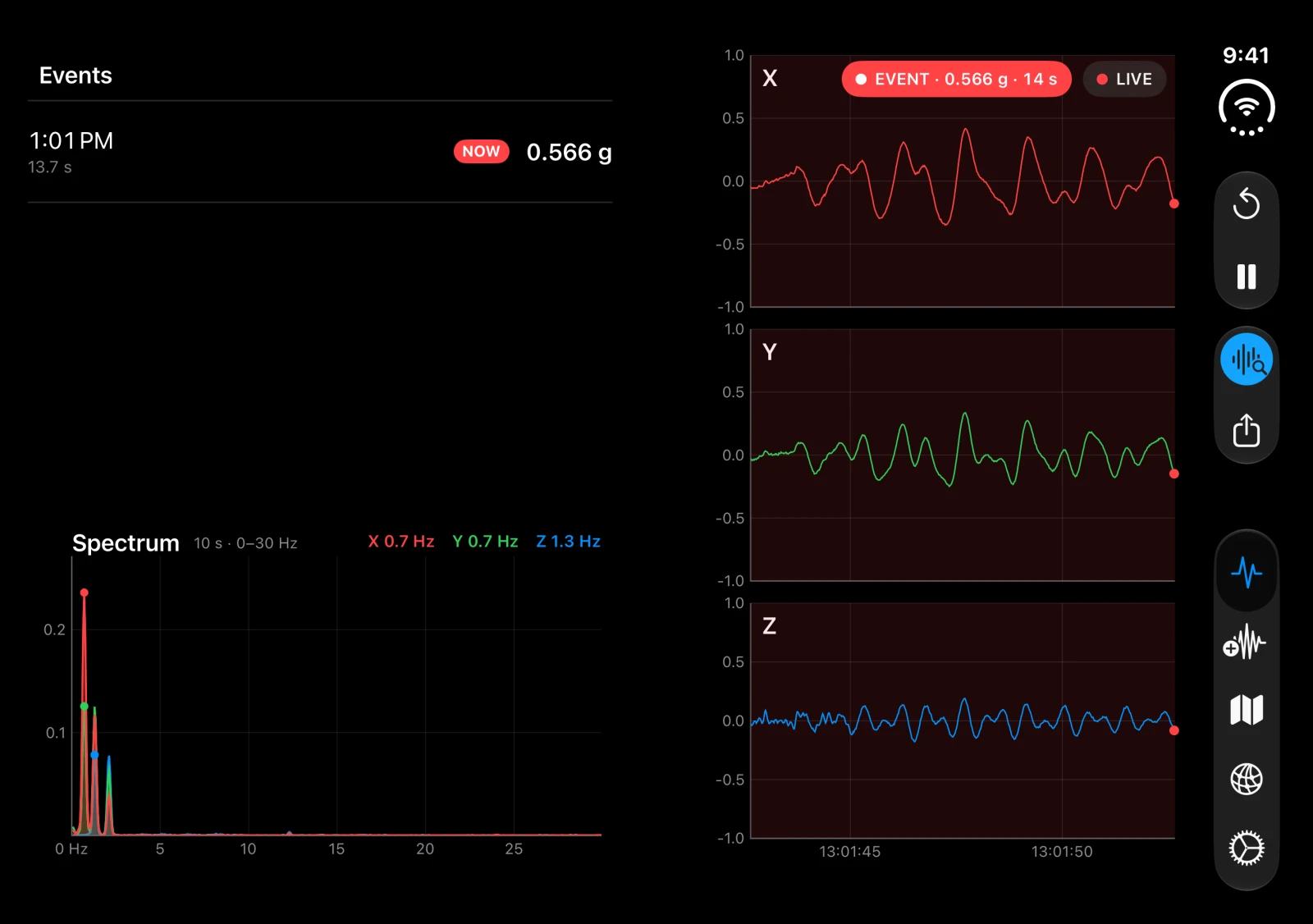
iSeismometer 1.7.2: the Mac keeps listening
The Mac becomes a station: it keeps recording with the window closed, sits in the menu bar, notifies you when a phone feels shaking and lists addresses you can paste on the phone. Plus iPhone Duo and a paper look.
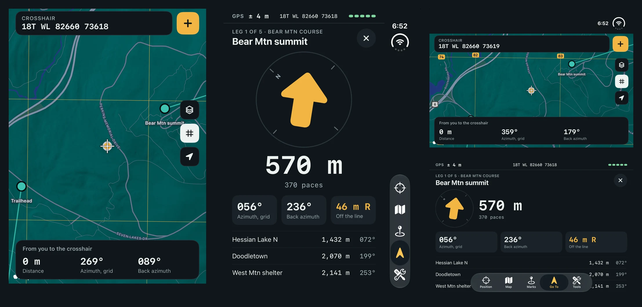
How to fold the iPhone Duo simulator from a script (simctl has no command for it)
Xcode folds the iPhone Duo simulator only from Device Hub. A small open-source tool sends the same hinge event from the command line: five poses captured in one run, and the two layout bugs it found.
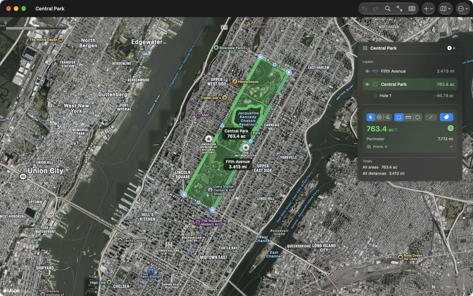
Geo Measure 4.0.1: holes in areas
A pond in a field, a courtyard in a lot, a building on a parcel. Geo Measure 4.0.1 draws holes in an area and subtracts them, reads the holes in KML and GeoJSON files, and lists them under their area in Layers.
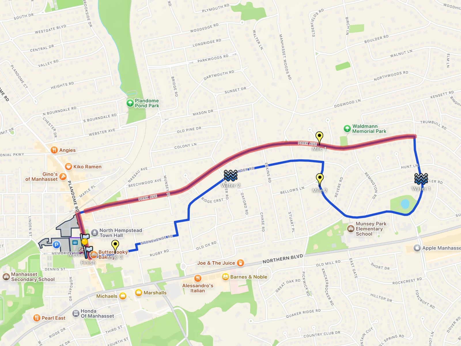
Make a race-day map in KML: the course, water, medical and parking, layer by layer
How to build the map a volunteer team needs for a charity 5K, as one KML file with a folder for each kind of thing: a course that follows the streets, start and finish, water, mile markers, a medical circle, parking and closures. Drawn in KML Explore on Mac, iPhone or iPad, opened anywhere.
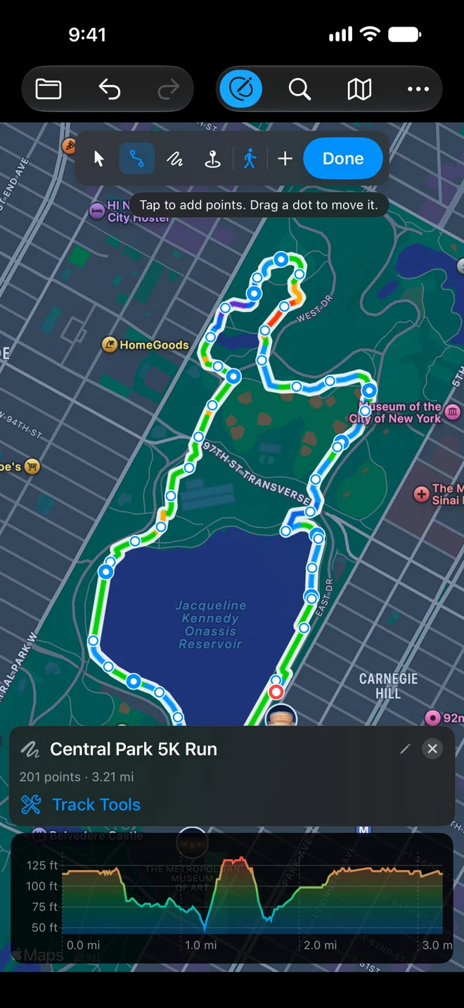
Plan a 5K route around your house, then run it with the turns in your ear
Draw a 5K loop in GPX Explore with a few taps and the route follows the running paths by itself. Then run it with headphones on and the phone in your pocket, every turn spoken.
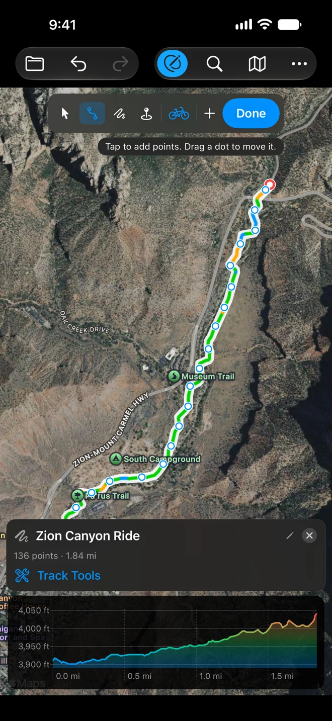
Plan a bike ride on a national park bike path and follow it turn by turn
Draw a ride in GPX Explore with Follow Roads (Cycling) and the route keeps to the bike path beside the road. Check the climbs and the canyon in 3D, then ride it with spoken turns, a climb panel and the Lock Screen. Zion is the example.
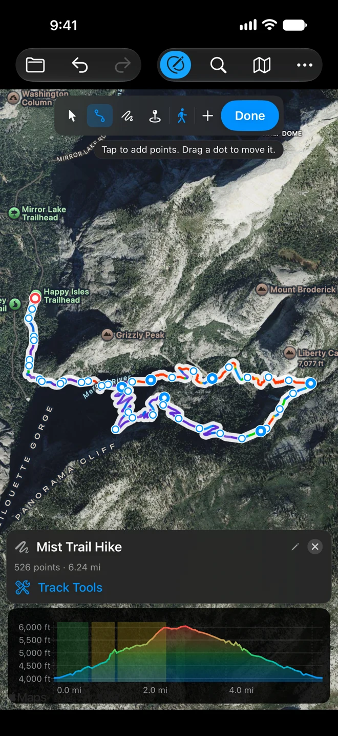
Plan a national park hike and follow the trail with spoken directions
Draw a hike in GPX Explore with Follow Paths (Walking) and the route keeps to the trail and its switchbacks. See the climbs and fly the trail in 3D, then hike it with the junctions spoken and the screen off. The Mist Trail in Yosemite is the example.
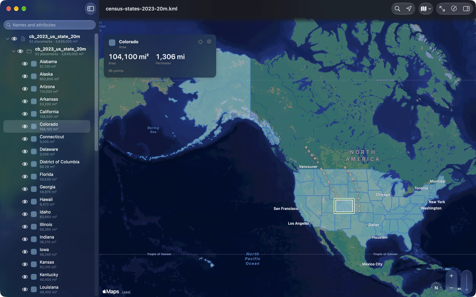
KML Explore: KML and KMZ maps, layer by layer
KML Explore opens KML and KMZ maps on Mac, iPhone and iPad with their folders, placemarks, styles, descriptions and attributes, repairs common file errors, and edits the map while keeping the file’s other KML. Viewing is free.
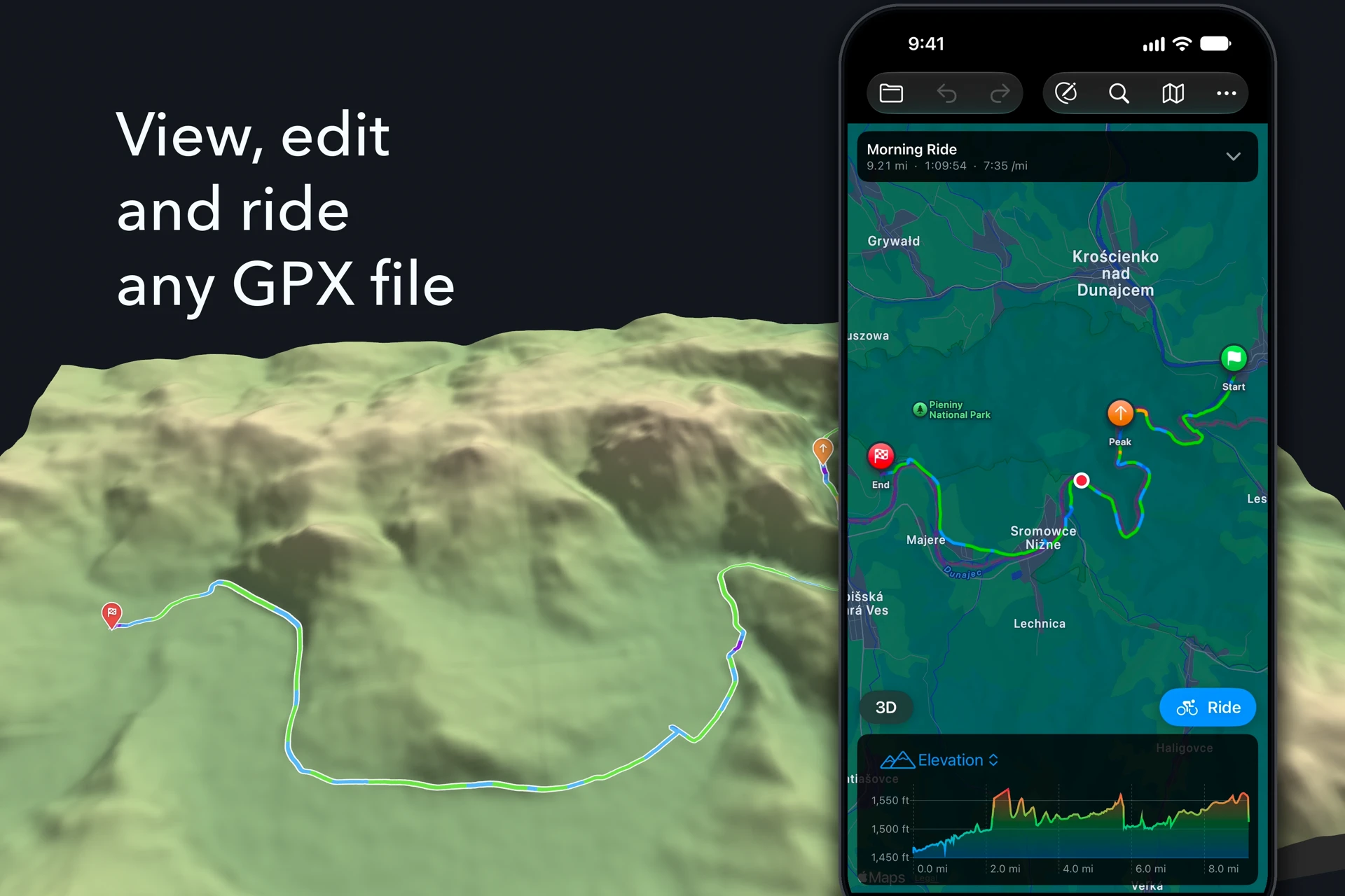
App Store header video and search results video: sizes, specs and API upload (iOS 27)
On the iOS 27 App Store the header and search results asset can be videos: 3840 × 1646 and 3:2 up to 3840 × 2560, 5 to 30 s. Specs, a seamless loop, API upload.
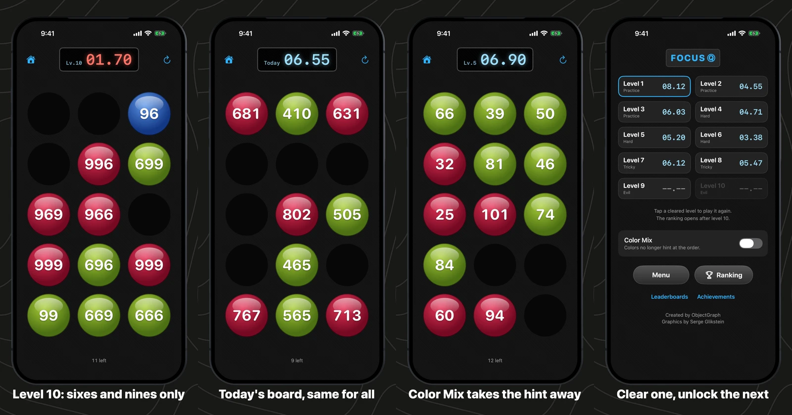
FocusQ 2: fifteen numbers, ten levels, seventeen years later
FocusQ was one of our first games, from April 2009: tap fifteen numbers in order before the clock runs out. It is back on iPhone and iPad with the same ten levels, a board a day that everyone plays, and Game Center where our old ranking server used to be.
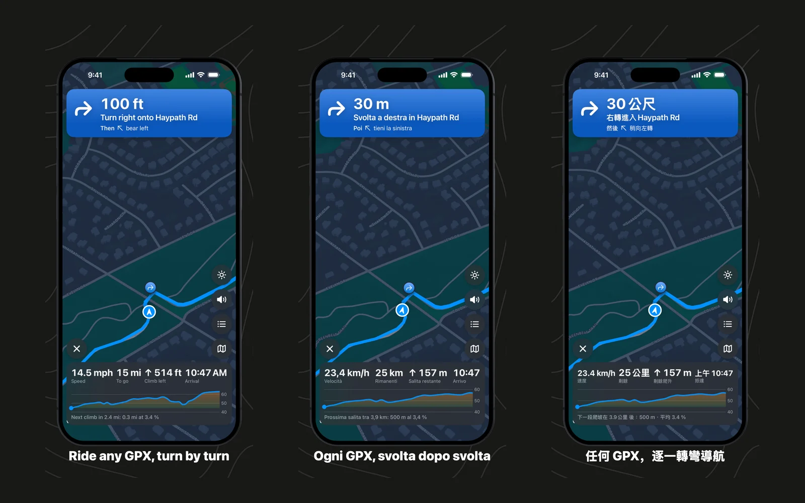
GPX Explore 2.2.3: the road ahead
A rider asked to see more of the route ahead. In GPX Explore 2.2.3 a pinch sets the ride map’s zoom and it keeps following you, the map holds steady at lights and stops, Keep Screen On is on the riding screen, and the app speaks Italian and Traditional Chinese.
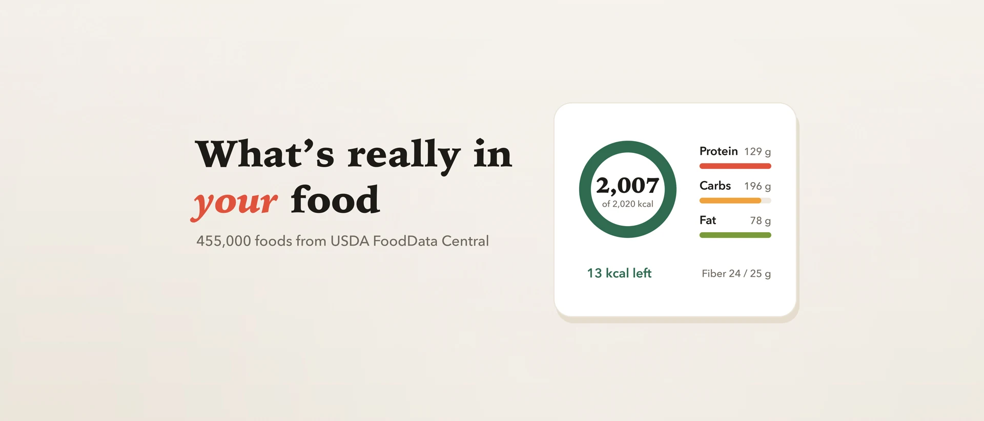
MyFoodAnalysis for iPhone and iPad: a food log on USDA data
MyFoodAnalysis is now a food log for iPhone and iPad, on the same 455,000 USDA foods as the site. Search, scan a barcode or snap your plate, check every food, and see your day against targets worked out for you.
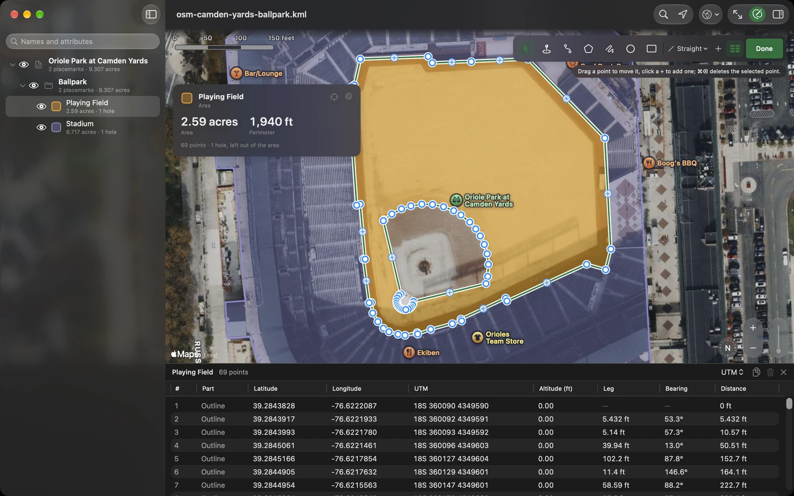
One file, one job: why GPX Explore, KML Explore, Geo Measure and Geo Elevation are four apps
A developer’s look at why ObjectGraph makes separate map apps: a GPX track, a KML map, a measurement and the ground under it are four different data models with opposite rules, and one app holding all four would have to break some of them.
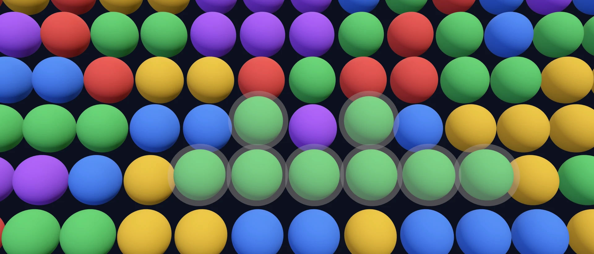
iSameGame 6.1: favorite boards, challenges that open the right board, and iPhone Duo
iSameGame 6.1 keeps the boards you star, opens a friend’s challenge on exactly the board it is about, plays on both screens of iPhone Duo, runs at 120 Hz, and plays an undo backwards.
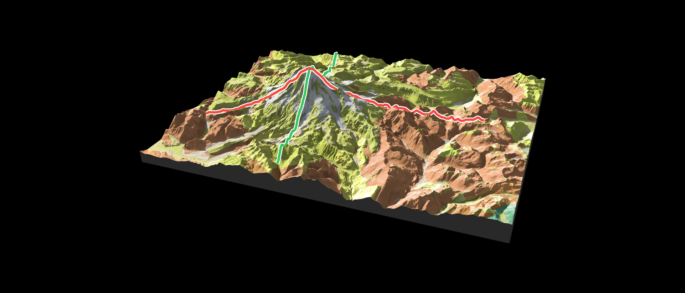
Geo Elevation 3.0: the ground in relief
Any area as a block of real terrain, lit like a printed relief map, with its rocks from the geologic map and a plate to print. On Apple Vision Pro, the place on your table and then at true size around you. And Geo Elevation is now free, with Geo Elevation Pro.
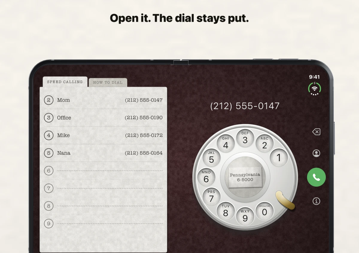
iRetroPhone 3.2: open it, the dial stays put
A paper Speed Calling card beside the rotary dial on iPhone Duo, a lesson on the other tab, and an oxblood table to start.
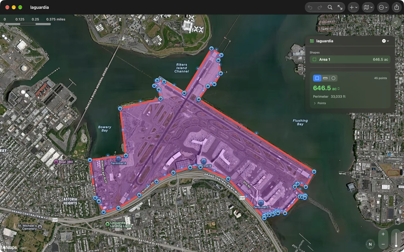
Geo Measure 4.0: free, in layers, and on foot
Geo Measure is free: one complete measurement in every file, routing along roads included. Geo Measure Pro adds layers, the PDF report, KML and GPX, and walking a boundary with the phone in your pocket. Everyone who bought Geo Measure before has Pro.
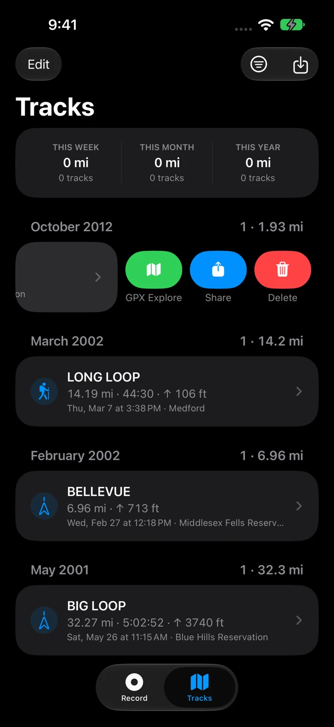
Geo Tracker 3.1: edit in GPX Explore, and a distance you can trust
Send a recording to GPX Explore with a swipe to trim, fix or join it. Positions the phone guessed without a satellite fix no longer stretch a walk. Finish from the Lock Screen with one tap, a new icon, and a guide to every screen.
PerfPowerServices at 190% CPU on macOS: the process-count trigger and a fix without rebooting
Why Apple's PerfPowerServices daemon can burn two CPU cores for days on macOS 27, what triggers it (more than about 2,700 processes), and how to clear it with one kill instead of a reboot.
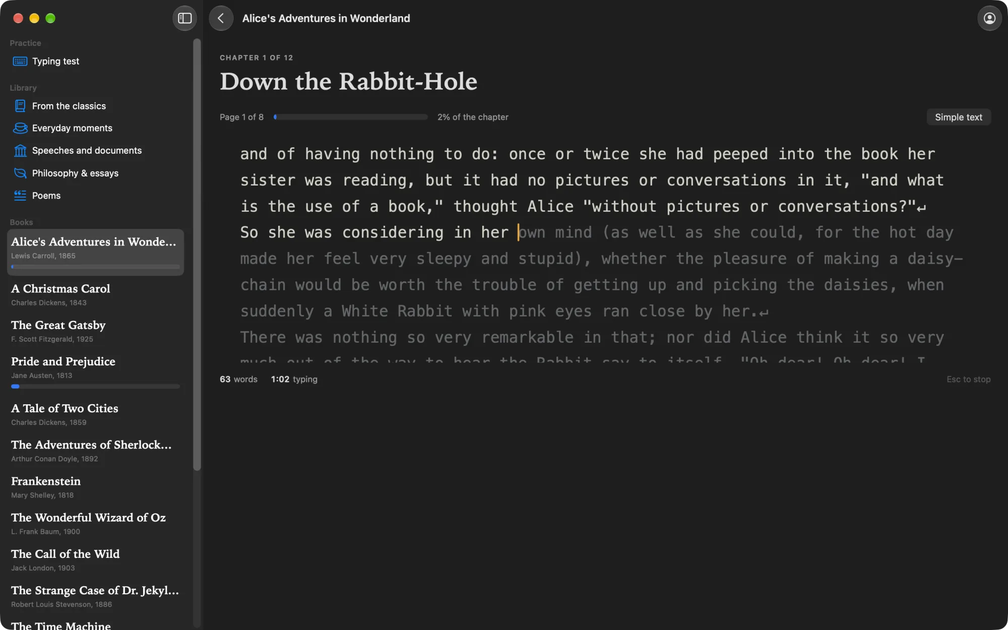
TypingKit for Mac: two milliseconds from key to letter
TypingKit now has a Mac app. Its typing area draws each letter about 2 ms after the key, where a browser takes 30 to 50. Whole novels chapter by chapter, passages with the ghost of your best run, a typing test, your own EPUBs, and the same account as typingkit.com. Free on the Mac App Store.
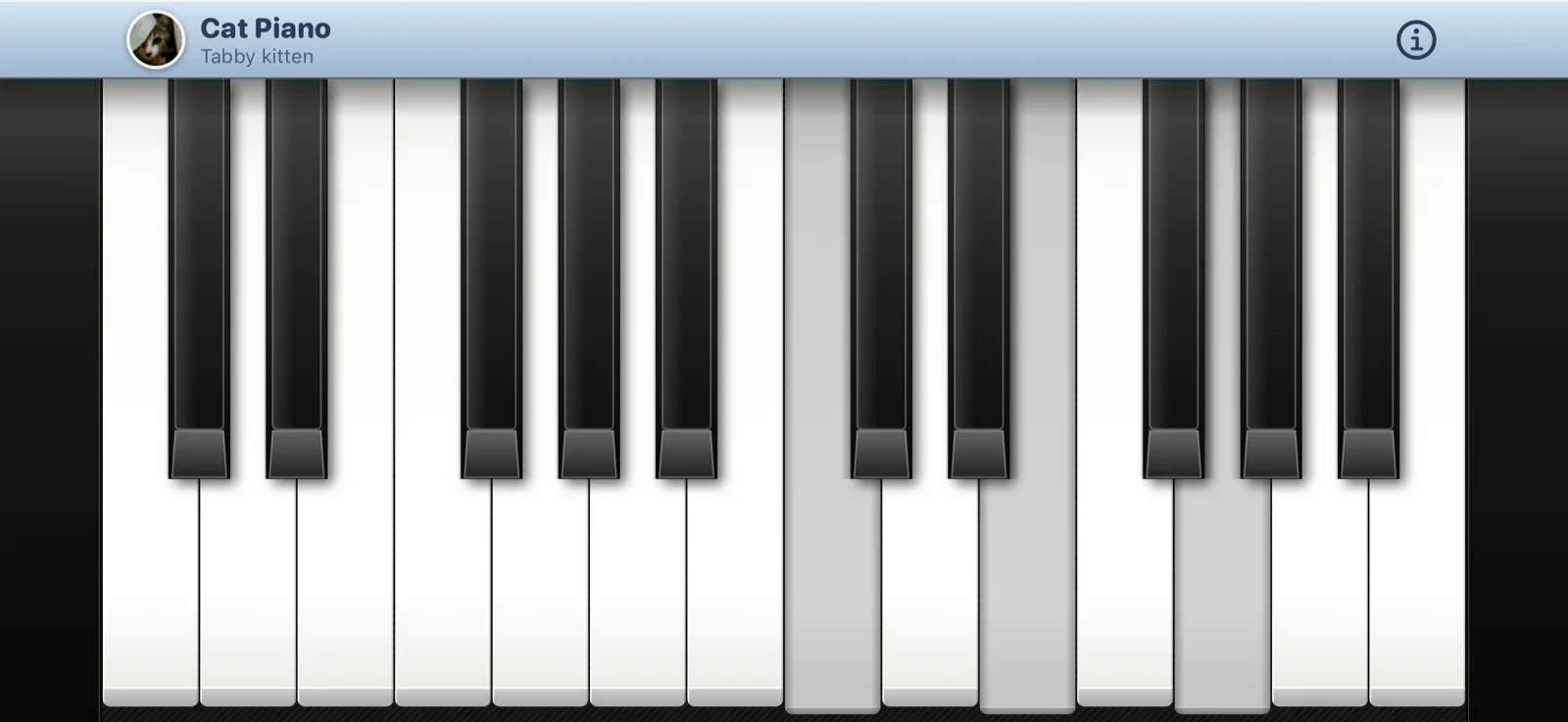
Cat Piano is back
Our 2009 piano that meows, rebuilt: the same three cats, one meow each, pitched live to every key. Chords, ten fingers, and your own cat as the instrument.
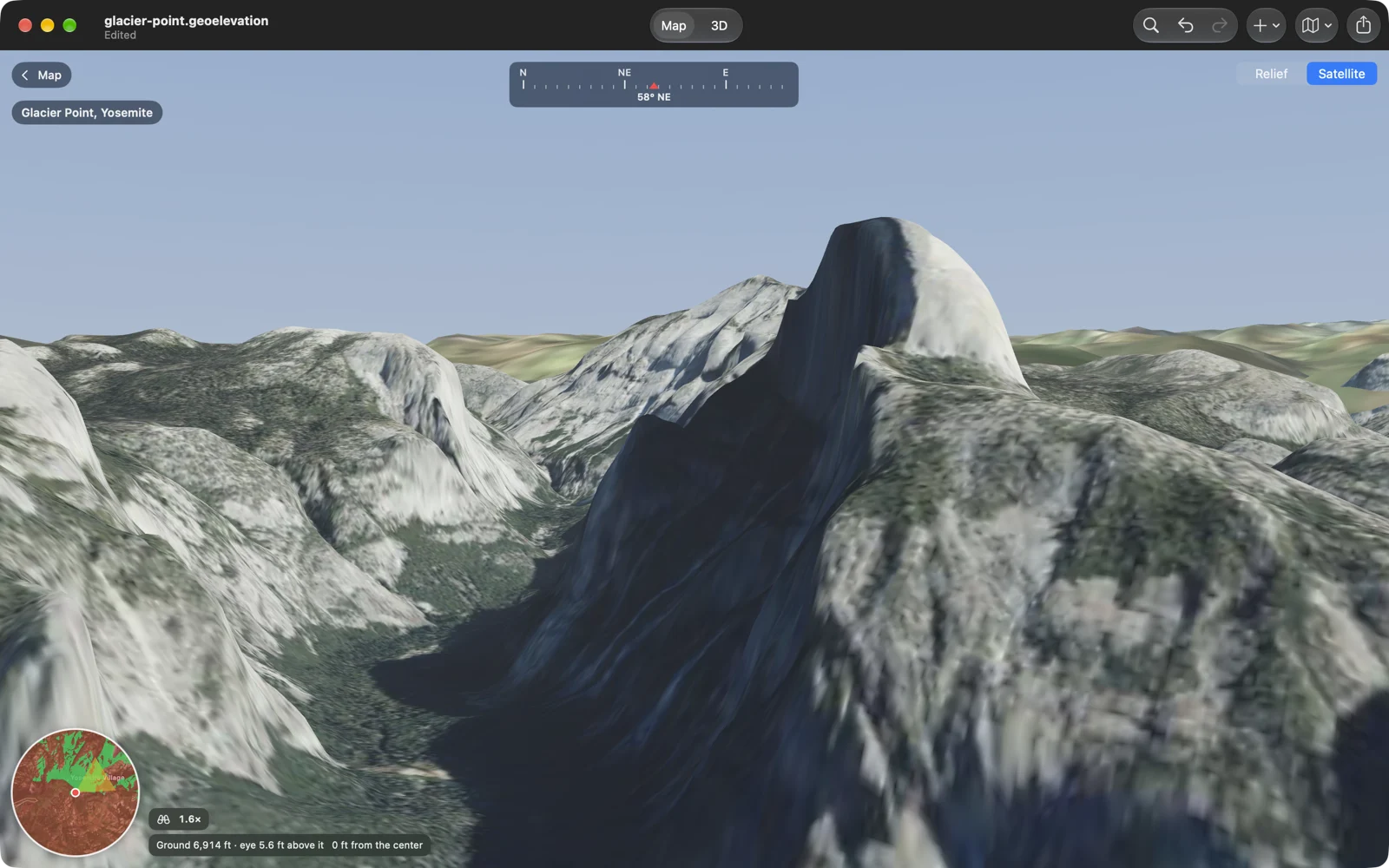
Geo Elevation 2.3: can you see it from here?
Line of sight over the curve of the Earth, the view from any point in green and red, and Look: stand there at the true height of the ground and look around in 3D. Plus a new print sheet and PDF report, and a welcome window on the Mac.
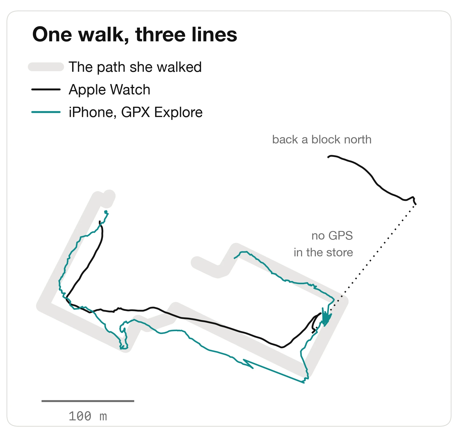
GPX Explore 2.2.1: a walk between tall buildings
A tester walked downtown Pittsburgh with GPX Explore recording on her iPhone and her Apple Watch recording too, then drew the path she really walked. What each one got right, what the iPhone got wrong, and what GPX Explore 2.2.1 changes.
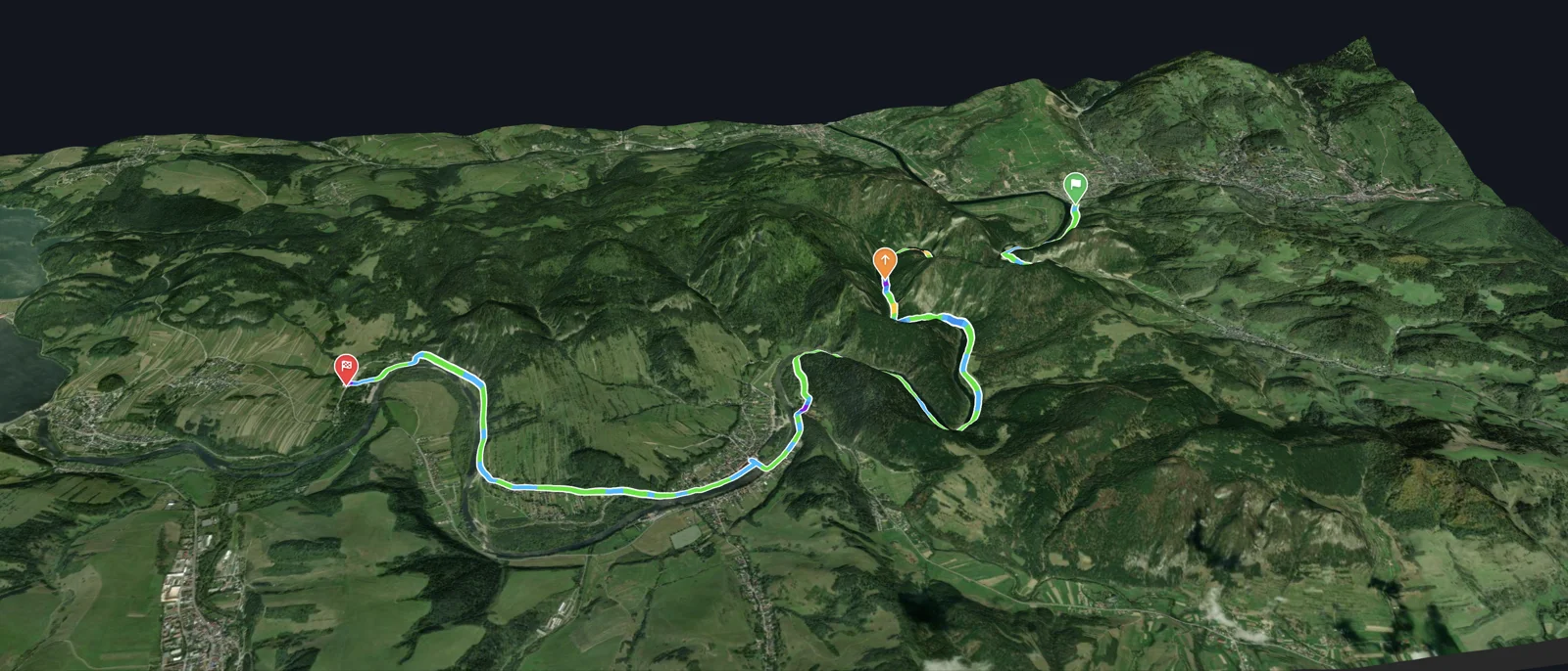
GPX Explore 2.2: see it first
GPX Explore shows the ground under any track in 3D with its climbs, flies the route and makes a flyover video to post, records a track with one tap on iPhone and iPad, prints a cue sheet of every turn, and counts climbing that reads true on noisy recordings.