Making apps since the first day of the App Store.
What do you want to do?
- Open a GPX fileAny track on a map, with its climbs, heart rate and speed.GPX Explore →
- Plan a run or a rideDraw it along the paths and roads, then follow it turn by turn.GPX Explore →
- Export Apple Watch workoutsAs GPX files with heart rate, one or many at once.WorkoutGPX →
- Record a walk with photosYour route and your photos on the map, kept as a GPX file.Geo Tracker →
- Measure an area or a distanceA field, a lot or a trail, with holes and layers.Geo Measure →
- See the elevation of a placeThe profile of a route, and the ground in 3D.Geo Elevation →
- Open or edit a KML mapKML and KMZ with their folders, styles and attributes.KML Explore →
- Replay a great earthquakeSearch the USGS catalog and keep a study with your notes.Seismica →
Guides
All guides →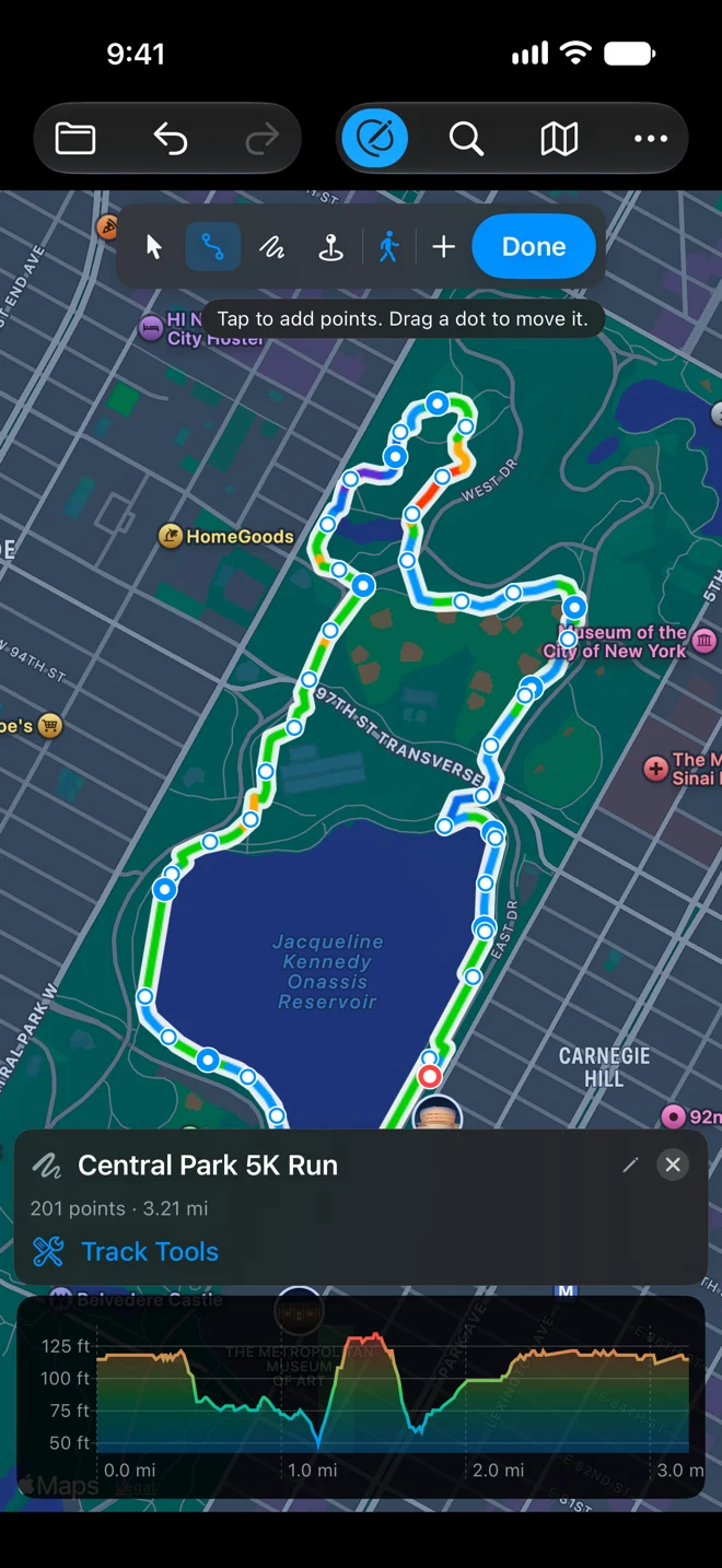
Routes · 6 min
Plan a 5K route around your house, then run it with the turns in your ear
Draw a 5K loop in GPX Explore with a few taps and the route follows the running paths by itself. Then run it with headphones on and the phone in your pocket, every turn spoken.
Routes · 5 min
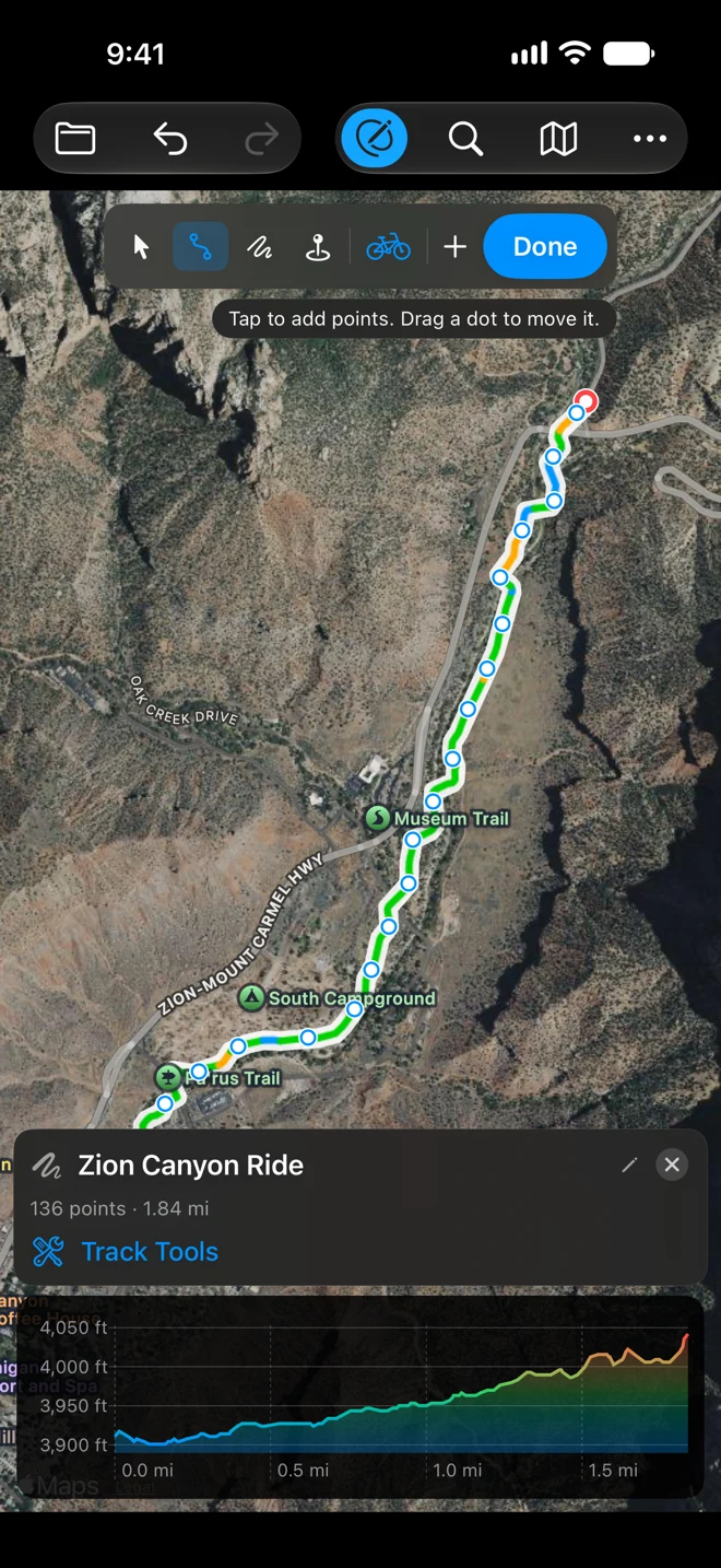
Plan a bike ride on a national park bike path and follow it turn by turn
Draw a ride in GPX Explore with Follow Roads (Cycling) and the route keeps to the bike path beside the road. Check the climbs and the canyon in 3D, then ride it with spoken turns, a climb panel and the Lock Screen. Zion is the example.
Routes · 5 min
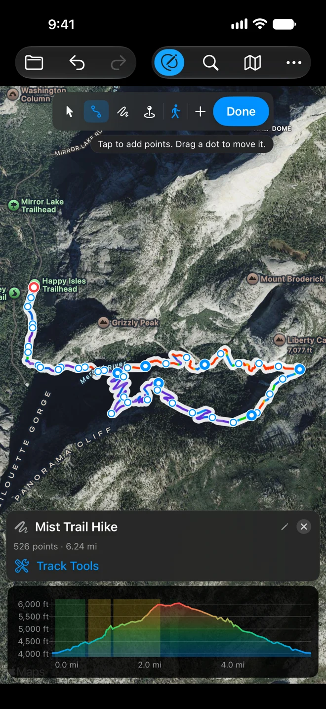
Plan a national park hike and follow the trail with spoken directions
Draw a hike in GPX Explore with Follow Paths (Walking) and the route keeps to the trail and its switchbacks. See the climbs and fly the trail in 3D, then hike it with the junctions spoken and the screen off. The Mist Trail in Yosemite is the example.
Apps
All 26 apps →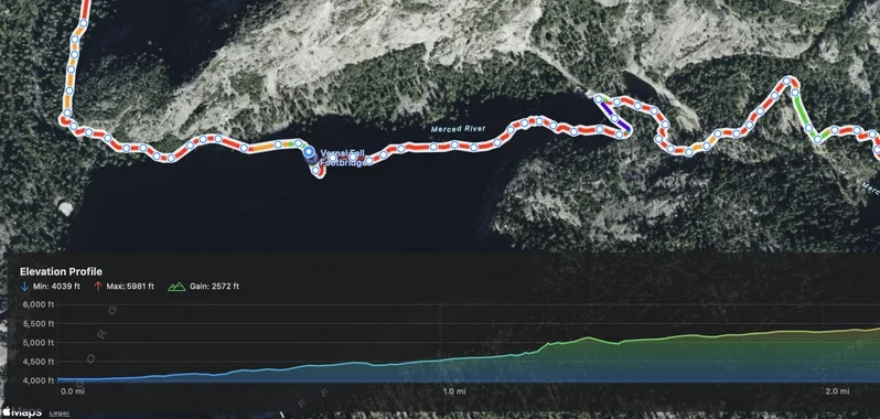
GPX Explore
See any GPX in 3D, ride it turn by turn, record and draw tracks. Mac, iPhone, iPad. Free to view and record; 3D, riding and editing with Pro.
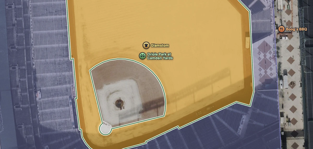
KML Explore
Open KML and KMZ maps: layers, styles, descriptions and attributes, measured. Mac, iPhone, iPad. Free to view; editing and export with Pro.

Geo Measure
Any area, any distance, along roads too, or walk the boundary. iPhone, iPad, Mac and Vision Pro. Free; layers, reports and walking with Pro.
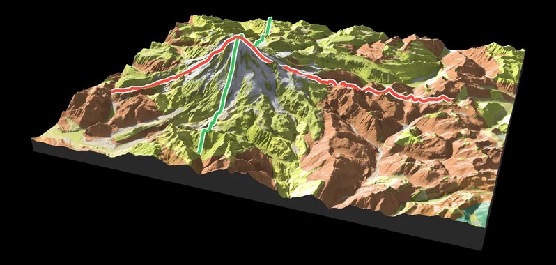
Geo Elevation
Any place as real terrain in relief, with its rocks and a plate to print. On Vision Pro, on your table and at true size. Free, with Pro.

Train of Four
The TOF ratio, T4/T1, from the iPhone’s accelerometer. Published in the Canadian Journal of Anesthesia
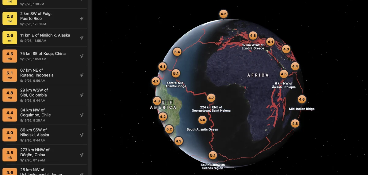
Seismica
Replay great earthquakes. Search the USGS catalog. Keep a study with your notes. iPhone, iPad and Mac