Geo Elevation for Mac 2.0: the Mac-only edition now runs the same code as Geo Elevation
Geo Elevation has been on the Mac twice over. There is Geo Elevation itself, the app that runs on iPhone, iPad, Mac and Apple Vision Pro from one purchase, which got its 2.0 rewrite this month. And there is Geo Elevation for Mac, the app I put on the Mac App Store in 2016 as its own product on its own record, and which people have kept buying since. It was a good Mac app for its time, with a document window, a chart you could scrub and spot heights before the universal app had them. It was also the one that stood still: version 1.3, a hundred samples along the path however long the path was, so a real hill on a long ride read as flat, and the heights came from somebody else’s server.
That is over. Geo Elevation for Mac is now built from the same code as Geo Elevation 2.0. Same documents, same chart, same terrain, same menus. The version number jumps from 1.3 to 2.0 to say so, and the update is free for everyone who owns the app.
What that brings to the Mac
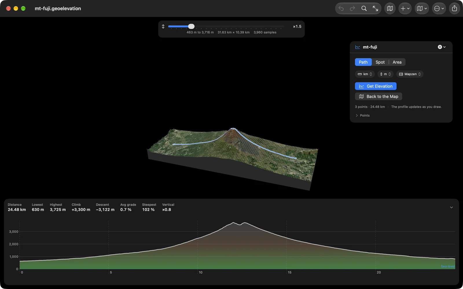
A sample every 30 metres along the path, up to a thousand, so the hill is there. Sea level as a line on the chart and water in blue below it, with distance, lowest and highest point, climb, descent, average grade and the steepest hundred metres above it. The terrain in 3D: one press samples the ground around the path and draws it as a surface with the satellite imagery on it, which you turn with the mouse; or drag a box around a summit or a valley and see just that. Spot heights that are listed with the path and export with it. A pin that drags with a loupe, delete from the callout, undo with ⌘Z, a coordinate you can type. Import GPX, KML and GeoJSON by dropping the file on the map; export GPX with elevations, CSV, GeoJSON, an image, or a PDF report, and print. Units and map style remembered per document. And the app is now in English, German, French, Spanish and Japanese, where it used to be three of those.
Your old files open, and the heights come from us
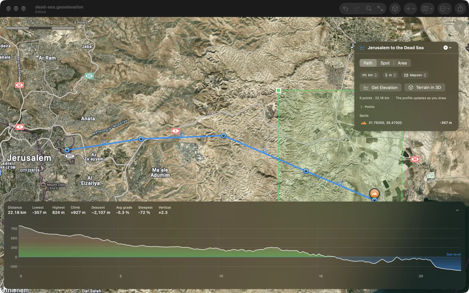
Every .elevation file the Mac app has written since 2016 opens as it always did; the reader knows that shape as well as the new one. New documents are GeoJSON with a version number, and they open in Geo Elevation on the phone too, if you have it. The heights now come from our own elevation server, ASTER and Mapzen at 30 metres, worldwide, the same data the universal app and geosq.com use, so all three agree.
Which one should you buy?
Either. From this version on they are the same app with the same features, and they will get the same updates at the same time. If you want it on your iPhone or iPad as well, buy Geo Elevation: one purchase covers all four platforms. If you only want the Mac, or you already own Geo Elevation for Mac, this one is yours, and nobody needs both. No account, no subscription, either way.